Margate Dredging Permits Approved for 10-Year Back Bay Plan
Margate dredging permits approved: what the 10-year plan changes
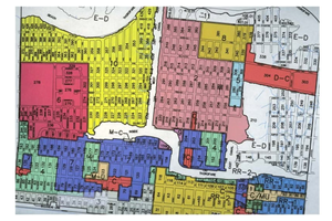
Margate received key approvals to move forward with a long-planned, city-wide back bay dredging program that has been in the works for years. According to the update, both the NJ Department of Environmental Protection and the U.S. Army Corps of Engineers approved the plan, covering 56.9 acres across areas including the Orient Canal, Sunset Canal, Bayshore Lagoon, and parts of Beach Thorofare, with up to 490,000 cubic yards of sediment removal.
If you’ve spent time on the back bay in Margate, you already understand the practical issue: shoaling and shallow channels can make navigation unpredictable and, in some cases, unsafe.
What the permits allow (and what they don’t)
The plan described is intended to restore channel depths to about -5 feet MLW, with a 1-foot overdredge allowance.
That’s a technical way of saying: “bring the channels back to a usable, consistent depth,” while allowing a small buffer to account for how sediment settles over time.
It does not mean dredging everywhere at once. The expectation is phased work over the next 5–10 years.
A notable detail: beneficial reuse of dredged material
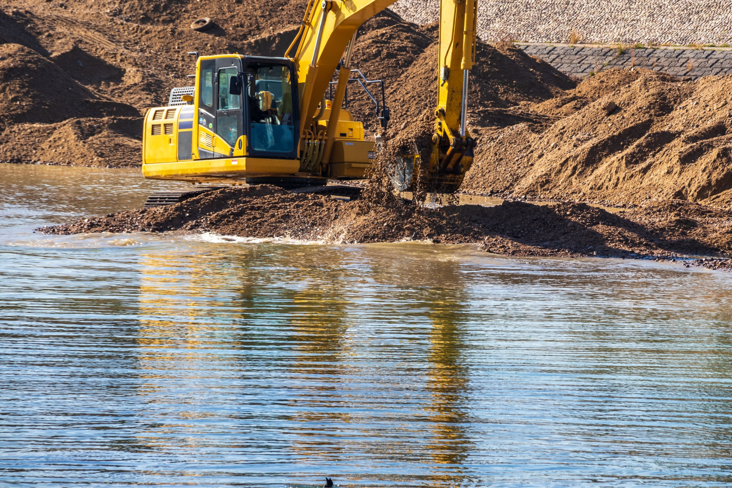
Instead of dumping dredged material offshore or treating it strictly as waste, the plan described routes the sediment to upland sites for beneficial reuse (including agricultural soil fill).
That matters because disposal is often one of the biggest hurdles—logistically, financially, and politically. A reuse plan can reduce friction and make a long-term dredging program more feasible.
Environmental timing restrictions are part of the reality
The update notes strict seasonal environmental restrictions to protect fish and wildlife, with the Army Corps imposing tighter work windows in certain areas than the state DEP.
For residents, the takeaway is simple: dredging schedules may not line up neatly with the calendar you’d “prefer.” The work windows can shape when equipment is present and when certain waterways can be addressed.
A big homeowner implication: coverage for private slips
One of the more practical benefits described is that the comprehensive permit also helps private bayfront property owners. Residents with docks and slips may be able to dredge under the city’s permit rather than pursuing separate approvals.
That’s meaningful because individual permitting can be expensive, slow, and uncertain—especially if you’re trying to solve a navigation problem before a summer season.
Permit durations hint at the long horizon
Margate’s DEP permit is noted as valid through late 2030, and the federal authorization extends through the end of 2036.
Even if your focus is “this summer,” those dates reveal the intention: this is a multi-cycle maintenance program, not a one-off dredge.
Local agent perspective (real estate context only)
As a local agent, I treat back bay usability as part of the functional value of a bayfront home. It’s not just “nice views.” It’s access—whether a buyer can reliably use a slip, whether they’ll face recurring shallow-water issues, and how predictable the maintenance environment feels. When a town secures long-term dredging approvals, it can reduce uncertainty for owners and future buyers, especially those comparing Margate to other barrier-island options.
Micro-FAQ
Does this mean dredging starts immediately?
The update describes approvals and a phased program expectation over 5–10 years, but it doesn’t specify a start date or first-phase schedule.
Will all bayfront areas benefit equally?
The plan includes specific waterways and areas; impacts will depend on proximity to those channels and the phasing sequence.
Why do environmental restrictions matter to residents?
They can affect timing, noise, equipment presence, and how quickly particular segments can be addressed.