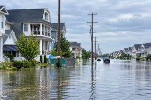
Ocean City’s Wetlands Institute Plans for Increasing Tidal Flooding
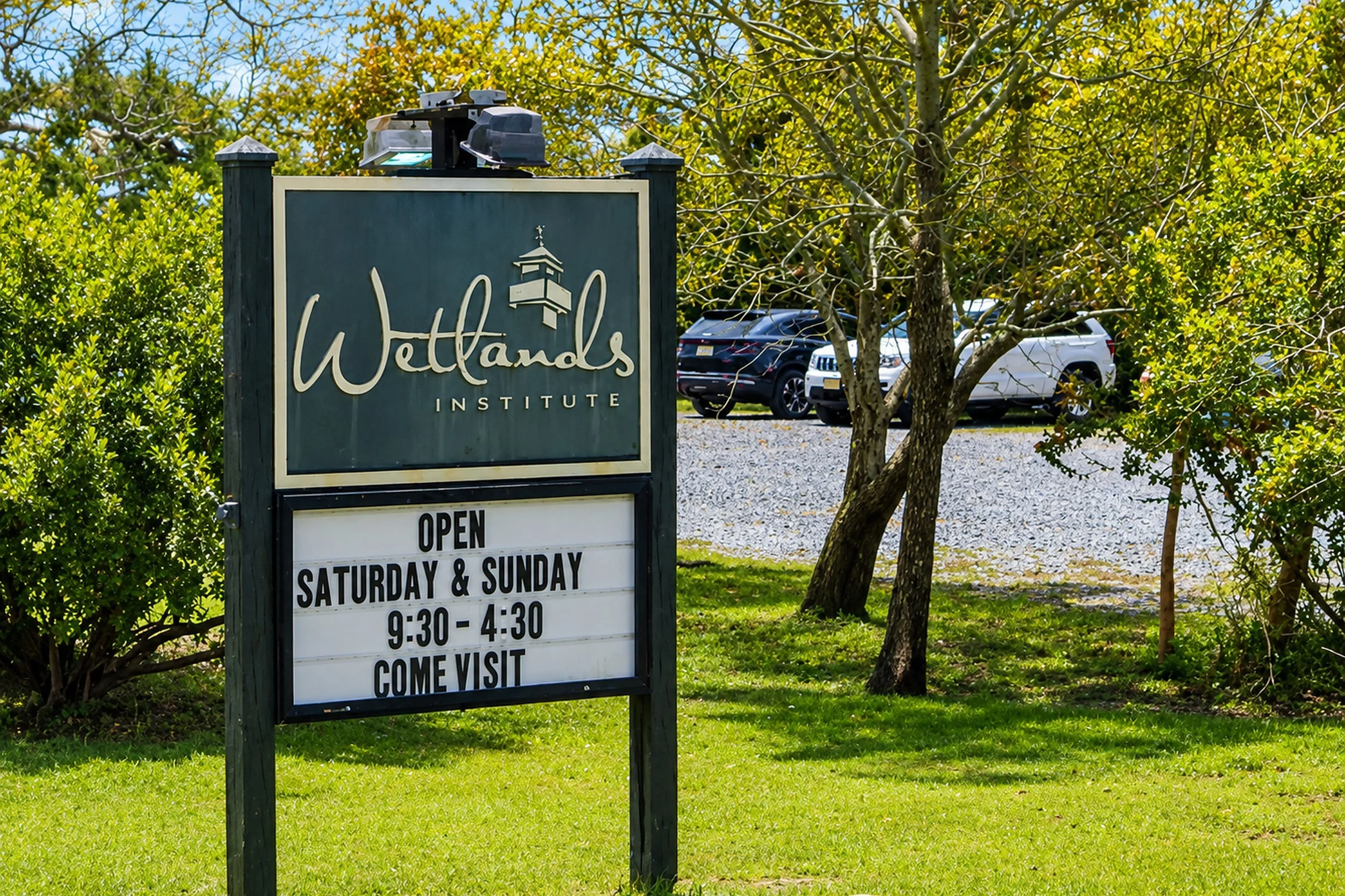
Recurring tidal flooding is forcing changes at The Wetlands Institute near Ocean City, where a major campus reimagining is being driven by dramatic changes in how frequently parts of the property are inundated.
Long-term records cited by the institute show flooding along its Salt Marsh Trail has increased from approximately two occurrences per year in 2000 to more than 70 annually during the past five years.
That change is significant enough that the institution is preparing physical improvements intended to keep its research and educational facilities functioning in an increasingly flood-prone marsh environment.
What is happening at The Wetlands Institute?
The Wetlands Institute operates in the marsh ecosystem near Ocean City and Stone Harbor, where its facilities provide environmental research, education, and public access.
The Salt Marsh Trail is particularly exposed to tidal conditions.
According to information included in the research, recurring inundation has increasingly disrupted access to the trail and affected portions of the surrounding habitat.
The proposed response includes elevating parts of the trail network and adapting transitional areas of the campus so programs can continue despite more frequent flooding.
Flooding has changed dramatically since 2000
The numbers provide the clearest explanation for why improvements are necessary.
Around 2000, tidal flooding along the Salt Marsh Trail occurred approximately twice per year.
During the last five years, the institute has recorded more than 70 flooding occurrences annually.
That means a condition that was once occasional has become a recurring operational challenge.
For a facility built around direct access to a marsh environment, simply closing off the affected area every time water rises becomes increasingly difficult when flooding occurs dozens of times per year.
The impact goes beyond visitor access
The Wetlands Institute is not simply a public attraction.
The surrounding marsh supports environmental research and habitat used by species including diamondback terrapins and marsh-dependent birds.
Repeated inundation has affected terrapin nesting areas and other habitat around the campus.
That creates a complicated challenge: the institute needs to adapt its physical infrastructure while remaining closely connected to the environment it exists to study and protect.
Elevating the Salt Marsh Trail is one example of how that balance can work. Rather than separating visitors from the marsh, the project is intended to maintain access as water levels increasingly interfere with existing infrastructure.
Why this project is locally significant
People living in Ocean City, Stone Harbor, and other nearby shore communities regularly hear discussions about tidal flooding, drainage, dunes, and shoreline protection.
The Wetlands Institute offers a different way of understanding the issue.
Instead of looking exclusively at streets, homes, or municipal infrastructure, the campus provides a long-running environmental record showing how frequently tidal water is reaching the same location over time.
The increase from approximately two flooding events annually to more than 70 is not a projection. It reflects observations reported from the institute’s own property.
That makes the campus an unusually visible example of changing conditions within South Jersey’s marsh environment.
What will visitors eventually notice?
The most significant physical change is expected to involve elevation.
Raising portions of the Salt Marsh Trail and adapting other transition areas can allow visitors, researchers, and educational groups to continue accessing the marsh even when normal tides create conditions that would previously have made sections unusable.
The goal is not to eliminate water from a marsh ecosystem.
It is to design access around the reality that water is reaching existing infrastructure much more frequently.
That distinction is important. The Wetlands Institute exists precisely because of its relationship with the marsh, so adapting to the environment is fundamentally different from trying to isolate the campus from it.
What does this tell us about the South Jersey shore?
The project is one piece of a much larger regional conversation.
Communities from Ocean City through the barrier islands of Cape May and Atlantic counties routinely invest in beach replenishment, drainage systems, bulkheads, dunes, retaining walls, and other forms of flood or erosion protection.
At The Wetlands Institute, adaptation is taking place at the ecosystem level.
Its experience illustrates how tidal conditions affect more than streets and buildings. Trails, nesting grounds, research facilities, and public environmental education can all be affected as well.
What happens next?
The campus redevelopment is intended to preserve both research operations and public access while responding to the recurring flooding documented on the property.
For anyone interested in understanding how South Jersey’s marsh environment is changing, The Wetlands Institute remains one of the region’s most direct places to observe it.
The challenge now is ensuring the infrastructure used to study that environment can change along with it.
Sources: Patch